Is there a mechanism for a smart paste, i.e. to run arbitrary substitutions when pasting text?
This would make it easy to automatically identify certain links, such as maps:
https://www.google.com/maps/place/The+White+House/@38.8979696,-77.0367791,17z/data=!3m1!5s0x89b7b7bce13fc169:0xb825fceceddb4d3c!4m8!1m2!3m1!2sThe+White+House!3m4!1s0x89b7b7bcdecbb1df:0x715969d86d0b76bf!8m2!3d38.8976763!4d-77.0365298
Logseq could automatically turn this into a block
# The White House
location:: (38.8979696,-77.0367791)
[Google Maps]([linkurl](https://www.google.com/maps/place/The+White+House/@38.8979696,-77.0367791,17z/data=!3m1!5s0x89b7b7bce13fc169:0xb825fceceddb4d3c!4m8!1m2!3m1!2sThe+White+House!3m4!1s0x89b7b7bcdecbb1df:0x715969d86d0b76bf!8m2!3d38.8976763!4d-77.0365298))
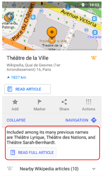
... screenshot of the maps link as an offline image ...
similarly /locationhere would create a property with the current location.
On the mapping side, I would suggest to use OsmAnd for display. It doesn’t upload the locations to the cloud, is open source and privacy preserving, with the additional advantage that it will work offline.
OsmAnd has a feature to display points of interest, their title, and a longer html text body.
OsmAnd can even import all locations from Wikipedia, so dealing with the output from Logseq should be easy.
If Logseq had a feature to export all locations as a gpx file this would work out of the box without a need to add offline mapping to Logseq.